Hiker Preparedness
Hikers should always prepare themselves with the proper knowledge, equipment, and experience before heading out into the wilderness. Many White Mountains search and rescue calls result from the failure to consider each of these areas. Always bring proper gear, including the
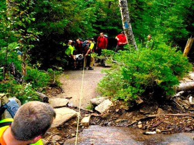
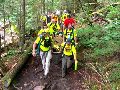
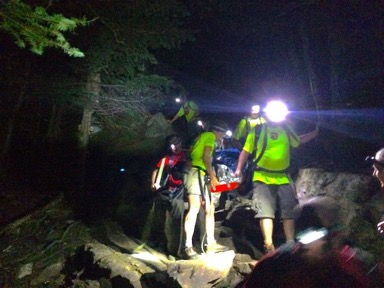
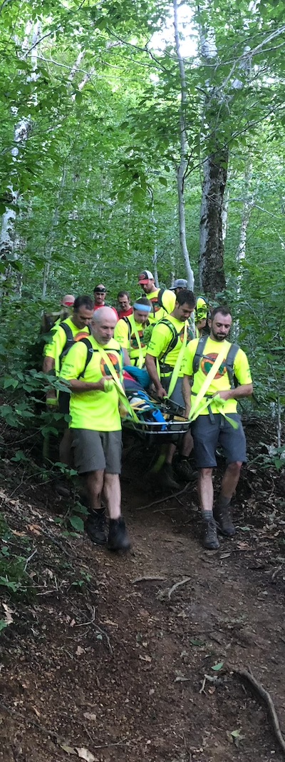
ten essentials, know how to use your gear, and don't get in over your head. Ask yourself, "Does my pack have everything I need to be self-sufficient for up to 24 hours should something bad or unexpected happen to me?" If you become injured it can take search and rescue teams several hours to reach your location. Be self-sufficient!
The most common type of search and rescue call is from hikers who are caught out after sunset without a headlamp while the most common issue that requires a carryout is a slip and fall resulting in a lower leg injury, often due to some combination of fatigue, slippery trails, and improper footwear.
The following resources can help a new hiker learn what they need to be safe in the outdoors or help an experienced hiker gain more skills that can be used to help themselves or others in need.
 | The hikeSafe Program is a joint effort of the United States Forest Service and New Hampshire Fish and Game, the program helps promote hiking preparedness and can educate you on the basics of what to bring and what to do to stay safe in the backcountry. |
 | The Appalachian Mountain Club promotes the protection, enjoyment, and understanding of the mountains, forests, waters, and trails of America’s Northeast and Mid-Atlantic regions. Local AMC chapters throughout the region, including the New Hampshire chapter, lead outdoor trips and training sessions that can help new hikers gain skills and experience in the outdoors under the supervision of experienced trip leaders. |
 | Stonehearth Open Learning Opportunities is the oldest, most innovative, and one of the most respected wilderness medical schools in the United States and is located in Conway, NH. SOLO's courses, such as Wilderness First Aid, can help hikers gain skills that may help avert a search and rescue call some day and are essential for wilderness professionals including SAR personnel. |
 | The White Mountain Avalanche Education Foundation is used as a mechanism to reduce winter injuries in the White Mountains through avalanche awareness and education of the youth, wilderness rescuers, and other visitors to the White Mountain region. |
Back to topPemi Area Trip Planning
The Pemigewasset River Valley is on the western side of the White Mountains region of New Hampshire and is surrounded by recreational lands managed by both the United States Forest Service and New Hampshire State Parks in partnership with other organizations.
The following resources can help hikers decide where they want to hike in the area surrounding the Pemi Valley:
 | Franconia Notch State Park is located in a spectacular mountain pass traversed by a unique parkway which extends from the Flume Gorge at the south to Cannon Mountain at the north. For eight miles, I-93 winds between the high peaks of the Kinsman and Franconia ridges. Although most of the mountain peaks that hikers strive to reach are located in White Mountain National Forest, the trailheads in this area are located in FNSP. New in 2018, FNSP is running a hiker shuttle between the Cannon Mountain parking area and key trailheads to alleviate parking congestion in the lots along I-93. |
 | The Randolph Mountain Club maintains a network of nearly 102 miles of hiking trails, principally on the northern slopes of Mount Madison, Mount Adams, and Mount Jefferson in the Presidential range of the White Mountain National Forest, and on the Crescent Range in the town of Randolph, NH. The RMC also maintains two cabins, Crag Camp and Gray Knob; one lean-to, The Perch; and one Adirondack-style shelter, the Log Cabin. There are also four tent platforms at The Perch. All camps are available to the public on a first-come, first-served basis. A caretaker is in residence at Gray Knob throughout the year and during the summer months there is a second caretaker at Crag Camp. |
Back to topConditions and Forecasts
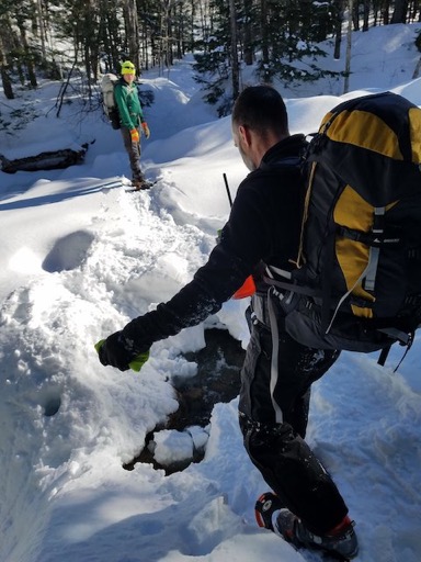
Hikers must remember that mountains create their own weather and the conditions high up on the mountain ridges may be significantly worse than those at the trailhead or "back at home" further South. The smart hiker will check with rangers and other local resources to verify trail and weather conditions before setting out and will turn around immediately if trail or weather conditions are deteriorating beyond what was expected and what the party is prepared to deal with.
The following resources can help hikers determine current conditions in the area surrounding the Pemi Valley:
 | The White Mountain National Forest Closures and Alerts website contains information on hazardous conditions on the trails. Current forest closures and safety alerts should be considered essential information before setting out on any hike in White Mountain National Forest. |
 | TrailsNH collects crowdsourced trail condition and trip reports for New Hampshire with additional information on the rest of the northeast. |
 | Views from the Top is a forum for hikers in the Northeast that also has a section for trail condition reports. |
 | Mountain Forecast.com provides dedicated mountain weather forecasts for major summits around the world, including many of the higher peaks of the White Mountains. |
 | The NOAA Northeast River Forecast Center collects information on river levels and forecasts flooding throughout the Northeast. This information can help determine if backcountry water crossings may be impassable. |
Back to top